

Explore
The areas below have been proposed to be added to the California Coastal National Monument by Senator Boxer and Reps Eshoo, Capps, and Huffman and represent some of the most spectacular areas in California managed by the Bureau of Land Management. Look around and get to know these amazing places.

Meeting
THANK YOU!!!!!
Meeting
THANK YOU!!!!!
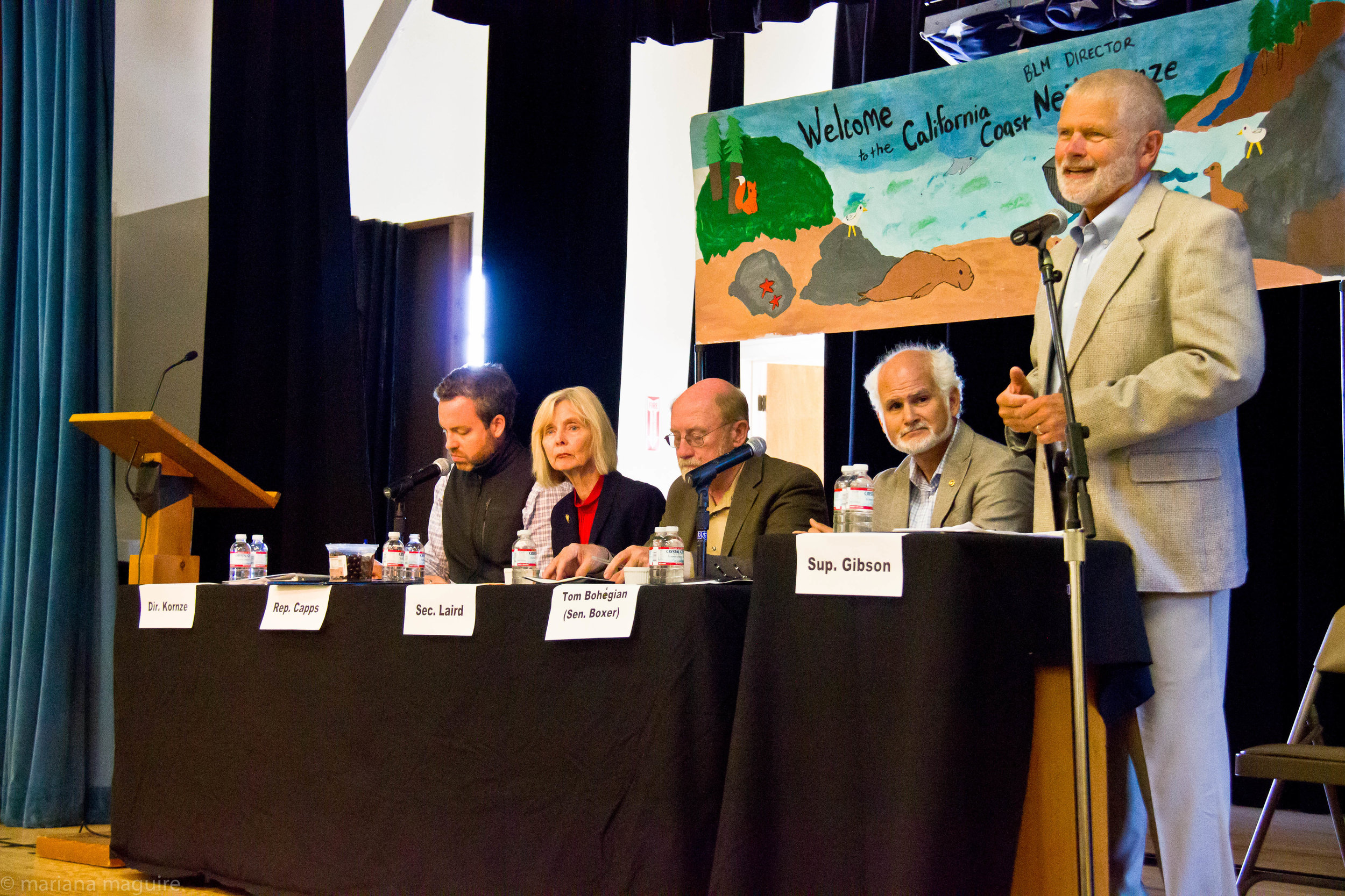
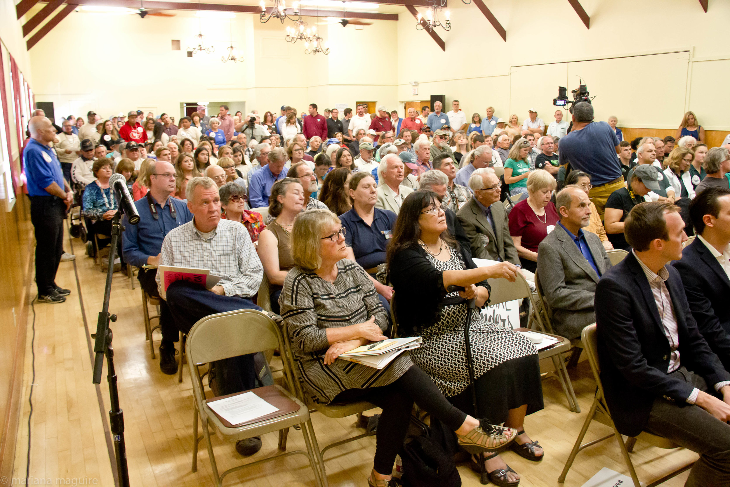
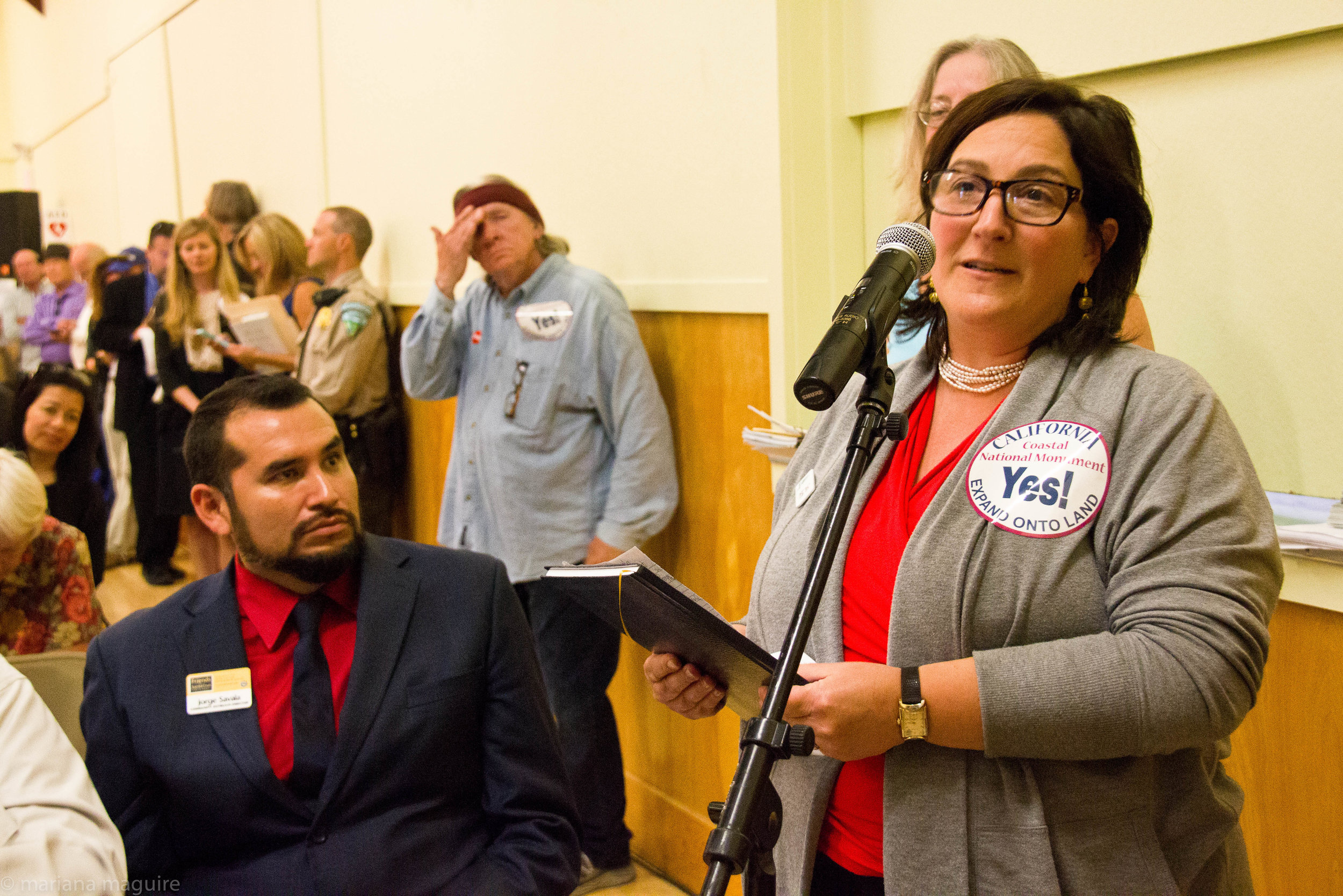
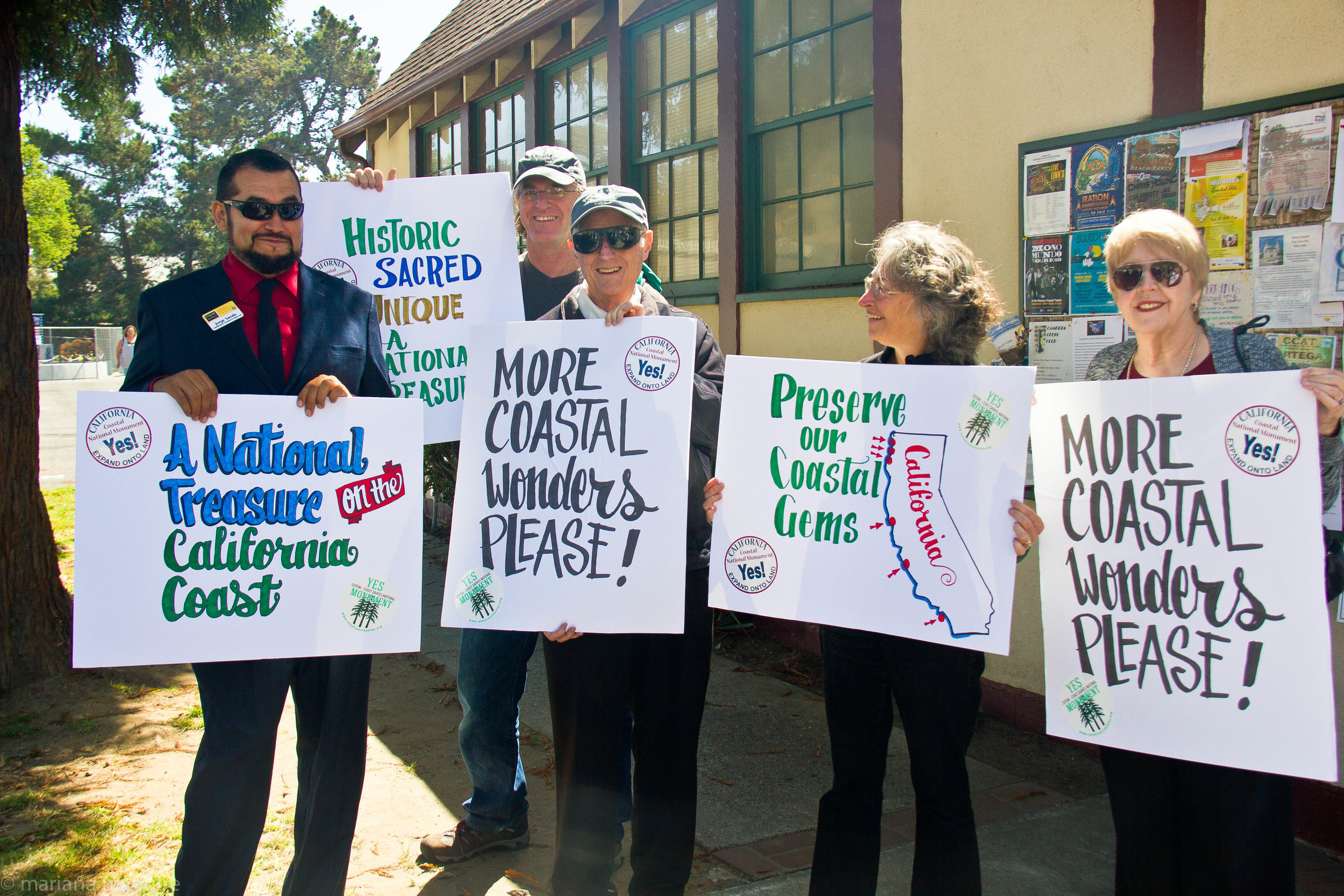
Thanks to nearly 300 of our supporters, we packed the Veterans Hall in Cambria, California on September 16, 2016.
If you were unable to attend, please send your comments to
mailto:ccnmcomments@mail.house.gov
so your voice can be heard!
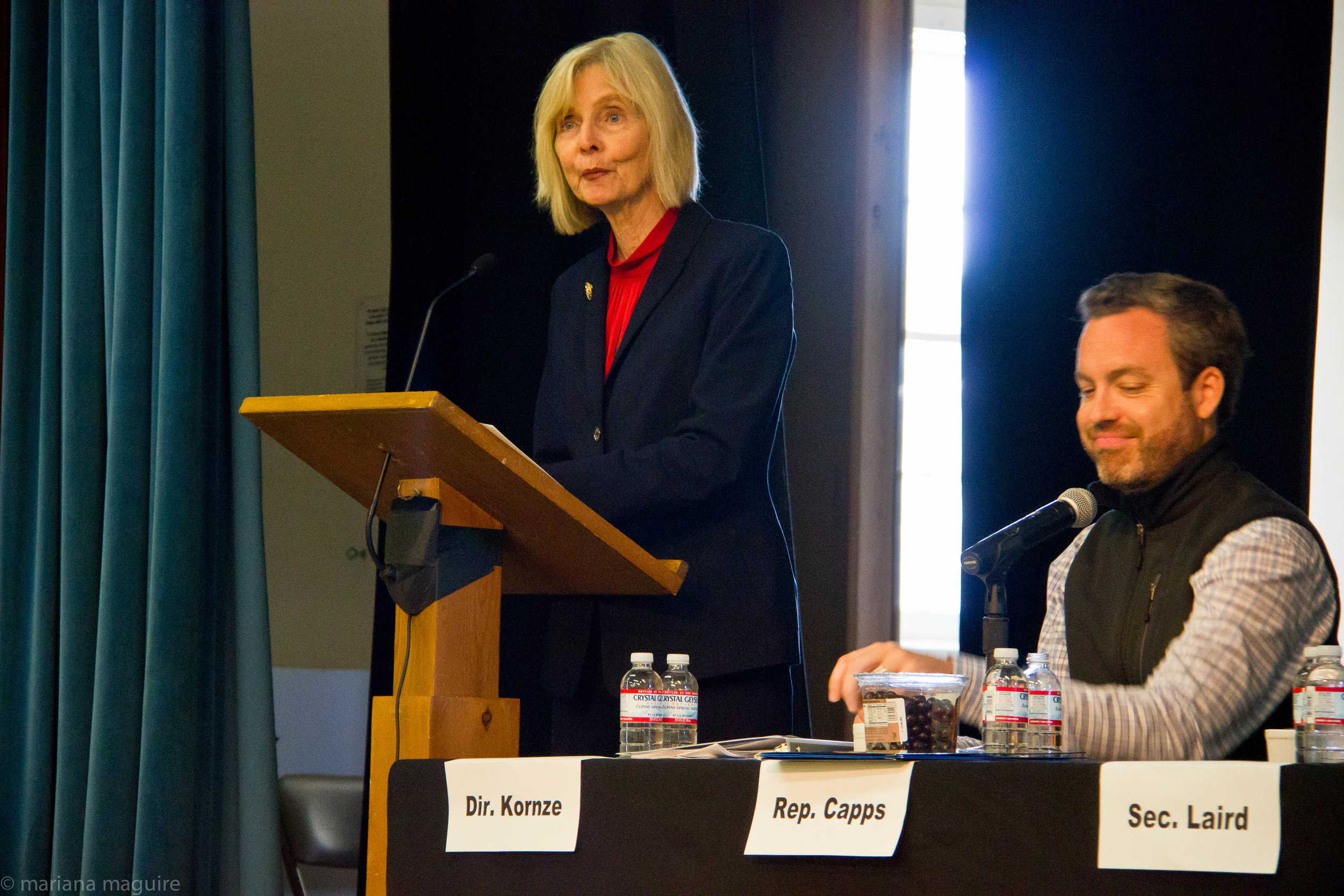
Speaker after speaker made passionate statements to the panel which included Rep. Capps and BLM Director, Neil Kornze, about the importance of expanding the California Coastal National Monument in all 6 proposed areas. From Humboldt to Orange County, supporters from around California, spoke about why expanding the California Coast is so important to them.
If you have yet to submit your comments, please describe why you want to see an expanded California Coastal National Monument to the address to ccnmcomments@mail.house.gov

Statewide Map
Statewide Map
The Proposed Additions to the California Coastal National Monument. Maps by Obi Kaufmann @coyotethunder #trailpaintings

Pieadras Blancas
Piedras Blancas
Pieadras Blancas
Piedras Blancas
The Piedras Blancas Outstanding Natural Area lies halfway between San Francisco and Los Angeles in is home to the historic Piedras Blancas Light Station, first illuminated in 1875. Lighthouse operations continue to this day. The site is surrounded by the Monterey Bay National Marine Sanctuary, rocky shoreline, and large rocks of the California Coastal National Monument. This area includes fantastic coastal vistas, estuaries, wetlands, dune fields, and a large array of marine wildlife, including harbor seals, sea lions, sea otters, Bottlenose and Pacific White-Sided Dolphins, Gray and Humpback Whales and the iconic Elephant Seals.

Trinidad Head
Trinidad Head
Trinidad Head
Trinidad Head
Background
Trinidad Head is a rocky promontory comprising over 60 acres of land surrounded by sea stacks in Trinidad Harbor. 14 acres, including the Trinidad Light Station, are managed by the federal government (BLM), with the remaining 46 acres managed by the City of Trinidad and almost 5 acres managed by Trinidad Rancheria at the entryway to the peninsula. The area offers breathtaking ocean views of the offshore rocks and islands of the California Coastal National Monument.
The Head and the surrounding landscape is of significant spiritual, historic, biologic, and geologic importance to the community and visitors.
History
Trinidad Head has long held unique prominence to the local Native American communities, with the Head serving as a major part of their culture and religion by being part of their origin story. Native Americans inhabited the area long before Spanish explorers arrived in 1775, claiming the area for Spain. In the late 1800s, the United States Coast Guard established the Trinidad Head Light Station. The station became automated in 1974, and is still in operation. In 1983, the federal government transferred 46 acres to the City of Trinidad. The remaining federal lands were transferred from the Coast Guard to BLM in 2014. The BLM and community partners are currently developing a land management plan to address public access, recreation, conservation, and preservation.

Cotoni-Coast Dairies
Cotoni-Coast Dairies
Cotoni-Coast Dairies
Cotoni-Coast Dairies
The diverse and beautiful Coast Dairies property spans six watersheds and encompasses 5,800 acres of coastal prairies, redwood forests, riparian canyons and grazing lands. The land is located on the Santa Cruz north coast and owned by the federal Bureau of Land Management.
The Cotoni-Coast Dairies National Monument campaign is dedicated to gaining permanent federal protection and conservation status for this unique property and its precious natural, cultural, historic, scenic and recreational values.
Situated just north of Wilder Ranch State Park and south of Swanton Pacific Ranch on the inland side of Highway 1, the property links together a vast landscape of coastal open spaces and upland forests including state and local parks, private nature preserves, working forests, agricultural lands, public beaches, a National Marine Sanctuary, and more.
To learn more and to get involved with this effort, visit:
http://cotonicoastdairies.org/

Lost Coast Headlands
Lost Coast Headlands
Lost Coast Headlands
Lost Coast Headlands
The Lost Coast Headlands are located along the coastal bluffs south of the mouth of the Eel River, approximately 280 miles north of San Francisco, 25 miles south of Eureka, and 6 miles west of Ferndale. The 463 acres of public land, managed by the Bureau of Land Management, provide seasonal beach access and offers opportunities for hiking, bird watching, wildflower viewing, and beachcombing.
The Headlands contain a variety of habitats in a relatively small area including grasslands, coastal scrub, forested pockets, several fresh water creeks, ponds, and seeps. The northern point is a place of rolling mountains and windswept coastal bluffs crumbling onto narrow beaches. The western boundary is composed of steep bluffs, slides, and beaches that provide foraging habitat for shorebirds and gulls. The coastal scrub that surrounds the ponds and covers some of the hillsides provide habitat for warblers, sparrows, hummingbirds, and other bird species. Grasslands provide foraging habitat for black-tailed deer, small rodents, raptors, and songbird species such as savannah sparrows.
The area also includes two perennial streams, Fleener Creek and Guthrie Creek. The Fleener Creek watershed consists of forests and grasslands dominated by dense red alder and willow.

Light House Ranch
Lighthouse Ranch
Light House Ranch
Lighthouse Ranch
Lighthouse Ranch is managed by the BLM Arcata Field Office, and is located twelve miles south of Eureka, and five miles northwest of Loleta, situated on Table Bluff. The site overlooks the Eel River Delta, the South Spit of Humboldt Bay, and the Pacific Ocean, occupying a site of exceptional panoramic views.
BLM manages the site for open space protection and public recreation use such as picnicking, hiking, sightseeing, and wildlife viewing, and for natural resource interpretation. In the vicinity of Lighthouse Ranch, some 9,000 acres are managed by four public agencies: BLM, U.S. Fish and Wildlife Service (FWS), Department of Fish and Wildlife (DFW), and County of Humboldt.
The Table Bluff light station, for which Lighthouse Ranch is named, was activated on Oct. 31, 1892. The original oil-fired light and lens were replaced by modern optics in 1953 and the steam-powered foghorn was shut down. The lighthouse was deactivated in 1971. Afterwards, the abandoned two-story lighthouse was disassembled and moved elsewhere.
The site became a commune around the same time the lighthouse was deactivated and about 200 people lived here, using existing buildings and worshipping in the fog signal building which had been converted to a chapel. They abandoned Lighthouse Ranch in 1996 and the property fell into disuse. It was acquired by the State Coastal Conservancy and transferred to the BLM in 2012. Several dilapidated structures, including the fog signal building, a carpenter shop, and oil house were demolished and the site was improved for public access.

Point Arena-Stornetta
Point Arena-Stornetta
Point Arena-Stornetta
Point Arena-Stornetta
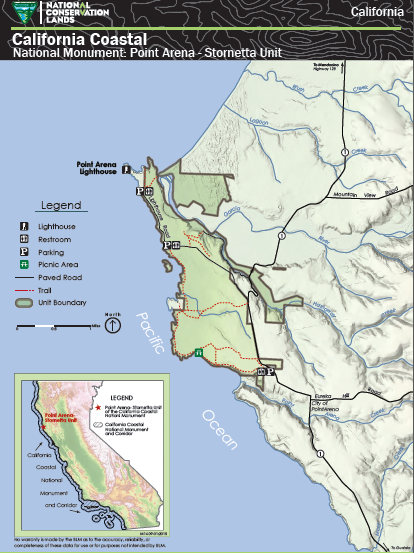
Close to 1700 acres of land near the town of Point Arena in Mendocino County will be preserved for future generations thanks to the Action of President Obama in 2014. It is the first land-based expansion of the monument and has paved the way for additional areas to be designated.
In late 2013, Interior Secretary Sally Jewell visited Point Arena-Stornetta Public Lands for herself, hosting a public listening session on prospective conservation measures. She came away from the experience touting the administration’s opportunity to “create a world-class destination for outdoor recreation and the study of coastal resources, and to strengthen the local economies."
Congressman Jared Huffman, Senator Boxer and Feinstein and advocates on the ground including the Mendocino Land Trust and the newly formed Friends of Point Arena Stornetta Lands. Click below for a larger map.

Orange County Rocks
Orange County Rocks
Orange County Rocks
Orange County Rocks
While over 20,000 rocks and islands are included in the CA Coastal National Monument, roughly 40 rocks off the coast of Orange County, California, were inadvertently omitted in 2000 due to jurisdictional issues. The Orange County Rocks and Islands consist of more than 40 offshore rocks, pinnacles, exposed reefs, and small islands, totaling less than two acres at the mean high tide level. These features are located within one mile of the Pacific coast of Orange County. In 1931, Congress reserved the Orange County Rocks and Islands for park, scenic, or other public purposes and in 1935, amended the reservation for lighthouse construction and navigation. The rocks contain unique geologic formations and provide some of the last remaining undisturbed offshore habitat in southern California for a wide variety of migratory and resident birds and marine mammals and a rich diversity of upper intertidal species. Because the U.S. Coast Guard no longer requires the use of these rocks and small islands for navigation purposes, the Orange County Rocks and Islands can be incorporated into the California Coastal National Monument to further the purposes outlined in Proclamation 7264, and will ensure management consistency and continuity of the National Monument along the California Coast.
Photo: ©Patrick Nouhailler
